Today’s Topics:

Tracking renovations (Richard Smith)
I noticed something recently that may be useful in historic district commission reviews of contentious projects. In Google maps, you can select a location and look at it in Street View to see what the building and surroundings look like.
If you look at the box that comes up with the street image, it offers you the most recent street images Google has taken with its date.
However, next to the date, it says “see more dates”, and if you click on that you can bring up earlier views. What Maps does is archive its previous street view photos.
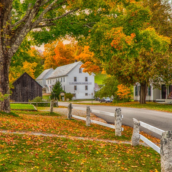
We were in Woodstock Vermont last night, and I saw a substantial reconstruction project in the village historic district. I was trying to remember what was there before, so I brought up the Google street view of the building, which is dated Nov 2022.
When I clicked on “see more dates” I found street views from Sept 2021, Sept 2018, Aug 2017, Nov 2016, and Aug 2013. That gave me a very good overview of how the property had changed.
If it is a street that the Google truck has revisited regularly, Street View can give historic districts and commissions a way to look back in time to find more clues to the recent renovation history.
Were windows replaced without review? Was that porch enclosed by the present owner?
When did those details disappear?
Was it after the historic district was implemented?
Street View can provide some objective documentation of how a historic property has evolved.